GRSS-ISPRS 2021
Brazil event
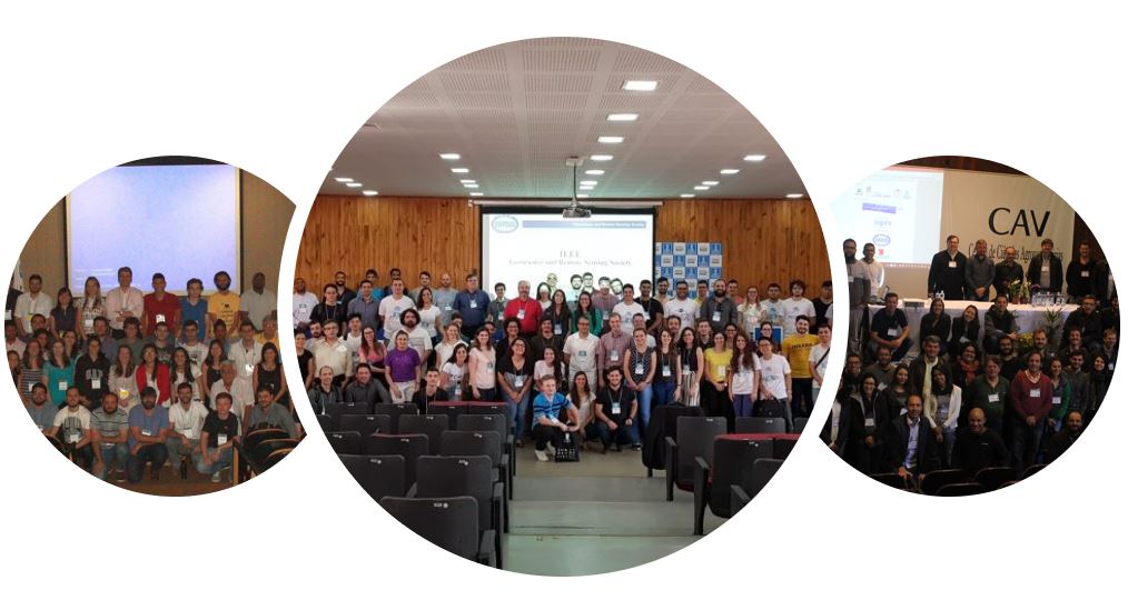
About the Event
The IEEE GRSS Young Professionals (YP) & ISPRS Student Consortium (SC) Summer School (SS) are events organized jointly in Brazil and supported by the two main international organizations in the field of remote sensing: […]
click on the image for more information


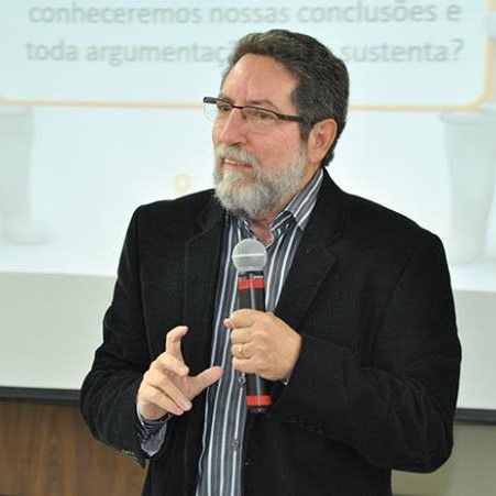
Biólogo (1978), UNESP/Botucatu); Mestre (1981, Fapesp) e Doutor (1986, Fapesp) pela UNESP/Rio Claro; Pós-Doc na Agricultural Research Organization, Israel (bolsa Fapesp); Livre-Docente (2005) aposentado da UNESP/Instituto de Biociências, Botucatu/SP.
Trabalhou na área de Fisiologia Comparada e Comportamento Animal, nas seguintes especialidades em peixes: bem-estar; comunicação química; estresse; coloração ambiental; agressividade; comportamento social; crescimento heterogêneo. Nessas atividades, com apenas 55 artigos na Web of Science, obteve 1.378 citações recebidas (apenas 14,9% de autocitações) e índice h = 23 (h/artigo = 0,42). Integrou pesquisas com cientistas da Inglaterra, Israel, Canadá e Estados Unidos. Há mais de 46 anos na academia científica, dedicou 35 anos ao ensino de ciência e redação científica, tendo ministrado mais de 1.600 eventos presenciais em ampla gama do território nacional e alguns no exterior. Em 1988, implantou o PET-Biologia/CAPES na UNESP, Campus de Botucatu/SP, sendo seu tutor por cerca de 7 anos.
Atualmente é professor responsável pela disciplina de Redação Científica na Pós-graduação da Faculdade de Medicina da USP/São Paulo. Autor de 12 livros na área de ciência e redação científica; presidiu a Comissão de Editores Científicos da UNESP por 4 anos, nas três áreas do saber; Editor científico por 14 anos; Coordenador e Membro de coordenação de PG por cerca de 16 anos; Avaliador Capes na Pós-graduação; Bolsista de Produtividade em Pesquisa pelo CNPq, nível 1B; mais de 60 orientações em Pós-graduação stricto sensu (M/D). Desde agosto/2017 é sócio fundador do IGVEC.COM.
http://lattes.cnpq.br/3363114201357959
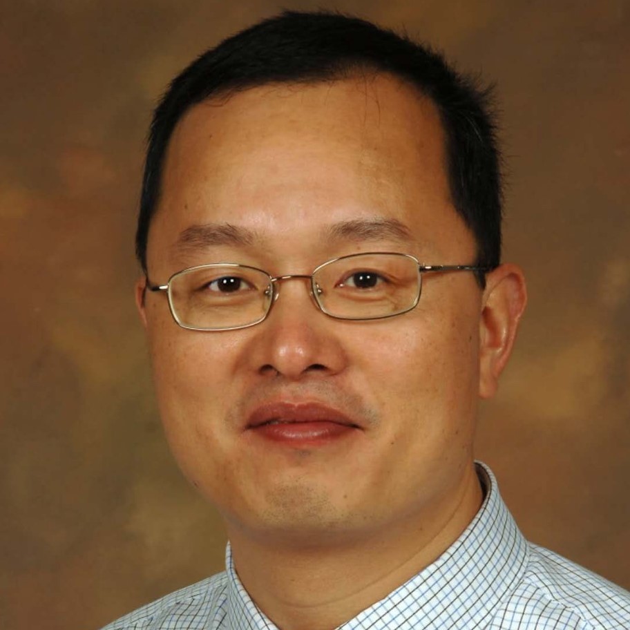
Summary: The scientific and technological methods used in remote sensing research; research results dissemination methods; manuscript submission, review, and understanding of decisions.
CV: Qihao Weng, a Foreign Member of The Academy of Europe (Academia Europaea), and a Fellow of IEEE, AAAS, and ASPRS, is the Director of the Center for Urban and Environmental Change and a Professor of Geography at Indiana State University, and worked as a Senior Fellow at the National Aeronautics and Space Administration from 2008 to 2009. He received his Ph.D. degree in geography from the University of Georgia in 1999. Weng is the Lead of GEO Global Urban Observation and Information Initiative, 2012-2022, and an Editor-in-Chief of ISPRS Journal of Photogrammetry and Remote Sensing. Additionally, he serves as the Series Editor of Taylor & Francis Series in Remote Sensing Applications, and Taylor & Francis Series in Imaging Science. Weng has been the Organizer and Program Committee Chair of the biennial IEEE/ISPRS/GEO sponsored International Workshop on Earth Observation and Remote Sensing Applications conference series since 2008, a National Director of American Society for Photogrammetry and Remote Sensing from 2007 to 2010, and a panelist of U.S. DOE’s Cool Roofs Roadmap and Strategy in 2010.
Source: https://qihaoweng.net/
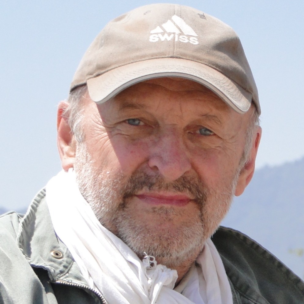
(Prof. em. Dr. Armin Gruen, ETH Zurich, President of the ISPRS White Elephant Club)
This presentation is usually part of a Seminar, given by ISPRS White Elephant Club Members at Conferences like ISPRS Symposia, ACRS Conferences, etc. This Seminar also includes presentations on “How to develop a research proposal” and “How to give presentations”.
The White Elephants Club is a group of previous or actual senior officers of ISPRS or persons with longstanding, very close relations to ISPRS, who have reached a level of personal and technical development which makes them comparable to white elephants (in the Asian sense).
The aims of the White Elephants Club are to continue friendship among the members, to share commemorative events of the members, to support the missions and goals of ISPRS and to communicate and encourage young generations to grow into potential “elephants” through their activity.
In this context this presentation is given.
It essentially treats two main issues: How to do research leading to a successful thesis (or a paper) and how to write it in such a way that the reader is interested and will honor your work with high marks and it will be referenced very often in the related literature, and as such contributing positively to your future professional career.
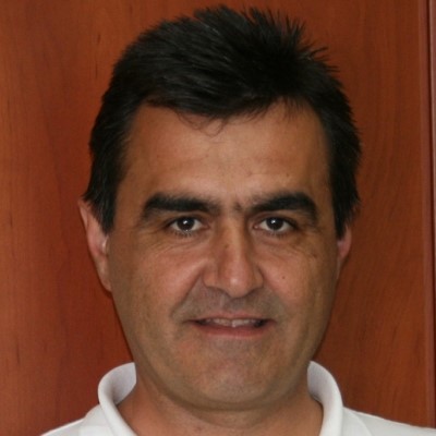
Summary: Point pattern analysis techniques are combined with geostatistics and spatial analysis methods (i) to transform point observations into continuous density surfaces with the aim to minimize the spatial uncertainty of point observations and retain the “spatial scale’ of the original point data into the final continuous density surfaces and (ii) to spatially characterize both the original point data and the transformed continuous surfaces.
CV: Research Interests: Remote sensing, Geographical information systems & Spatial analysis. Applications on wildland fires, natural disasters and landscape ecology. Applied multivariate methods. Geostatistics and point pattern analysis with special emphasis on spatio-temporal analysis of wildland fire ignition points. Positional uncertainty and data modeling. Source: http://www.env.upatras.gr/en/personnel/view/nikolaos-koutsias
Summary: This webinar aims to deliver the recent scientific and technological findings of the Global Ecosystems Dynamics Investigation (GEDI) mission. Outcomes of the GEDI Science Team and collaborators of the different initiatives aiming to develop empirical biomass models are also shown. Research perspectives and collaborations are also highlighted.
CV: Laura received her B.Sc. Honors in Earth Systems Sciences in 2007 from Queen’s University at Kingston, Ontario. She then moved to the University of Victoria where she received her MSc in Geography in 2009. Her master’s thesis was titled ‘Aboveground biomass estimation using spaceborne LiDAR in managed conifer forests in south central British Columbia.’ In 2010 she started her PhD at the University of Maryland working with Ralph Dubayah. She defended her dissertation thesis entitled ‘Fusing Allometric Scaling with LiDAR Remote Sensing for Improved Biomass Estimation and Ecosystem Characterization’ in 2014. From 2015 – 2017 she was a NASA Postdoctoral Fellow (NPP) at NASA Goddard working on research related to the upcoming GEDI mission and individual tree level dynamics. She is currently an assistant research professor at NASA Goddard, appointed through the department of Geographical Sciences at the University of Maryland.
As a researcher, I am focused on increasing our understanding of forest structure and dynamics. I use novel remote sensing technologies and methods to further our understanding of forest carbon stock and flux, their drivers and spatio-temporal dynamics. I have worked primarily with LiDAR remote sensing, although also have experience with Landsat, Landsat disturbance products, MODIS, and high-resolution optical datasets. I focus on developing and applying techniques that are non-site specific or ecosystem-specific, and am currently engaged on the GEDI science team to help lead the development of empirical biomass equations for GEDI. I also serve on NASA’s Carbon Monitoring System’s Science team and as a co-lead of CEOS’s Land Product Validation Biomass sub-group to work toward a consistent international protocol for global biomass product calibration and validation.
I have traveled or worked in forests in British Columbia, Yukon Territory, Ontario, California, Eastern United States, Costa Rica, Ecuador, Gabon and Peru. I am particularly interested in high relief forests and high biomass forests, as these are often the most challenging but ecologically significant / carbon rich forest ecosystems.
Source: https://lauraduncanson.com/
Summary: I will present some advances in change detection for high resolution Earth observation images. In particular I will discuss the challenges of data scarcity, multimodal inputs and deep models pretraining (with self-supervised approaches).
CV: I come from Ticino and studied in Lausanne, between UNIL and EPFL. After my PhD at UNIL in remote sensing, I was postdoc in Valencia (Spain), Boulder (CO) and EPFL, working on model adaptation and prior knowledge integration in machine learning. In 2014 I became Research Assistant Professor at University of Zurich, where I started the 'multimodal remote sensing' group. In 2017, I joined Wageningen University (NL), where I was professor of the GeoInformation Science and Remote Sensing Laboratory. Since 2020, I joined EPFL Valais, to start the ECEO lab, working at the interface between Earth observation, machine learning and environmental sciences.
Source: https://people.epfl.ch/devis.tuia
Summary: this talk will emphasize on the potential of GIS and remote sensing in the geospatial analysis to mitigate the Human-Elephant conflict in Southern Africa.
CV: Research Interests: GIScience and Landscape Ecology, including remote sensing, geographic information systems (GIS), spatio-temporal analysis, geovisualization and geographic object-based image analysis, as applied to landscape-scale biological/physical processes and human/animal-impacts on the environment.
Source: https://geography.uga.edu/directory/people/marguerite-madden
Summary: DEM users are often unaware of the technicalities of the model’s generation, provenance, and error characteristics. This information is often not available or unfamiliar. For example, the SRTM DEM measures the electrical height of the surface as seen by the radar, not the ground or canopy top measured by other techniques. In addition, DEM analysis tools are often used without a deep understanding of the methods employed. As a case in point, the methods described in this talk were developed by specialists and require some dedication to understand and apply properly. For geoscientists, it is a challenge of the utmost importance to decipher the geometric, topologic, and morphologic relevance data concealed by DEMs, and the geoscientist cannot expect the algorithm developer approaching the analysis from a mathematical perspective to provide a solution for any DEM or geographical context. Therefore, it is imperative that geoscientists have some facility with the theory, algorithm development, and computer code generation to collaborate with and guide the specialists in their sophisticated endeavor.
CV: B.S. Daya Sagar (bsdsagar@isibang.ac.in) is a full professor at the Systems Science and Informatics Unit, Indian Statistical Institute, Bangalore Centre, India. His research interests include mathematical morphology; geographic information sciences; digital image processing; and fractals and multifractals and their applications in extraction, analyses, and modeling of geophysical patterns. He is an IEEE Geoscience and Remote Sensing Society (GRSS) Distinguished Lecturer for 2020–2022. He is a Senior Member of IEEE and the GRSS.
CV: Orcid ID: https://orcid.org/0000-0002-1366-9446 Dr. Carlos Lopez-Martinez (S’97-M’04-SM’11) received the MSc. degree in electrical engineering and the Ph.D. degree from the Universitat Politècnica de Catalunya, Barcelona, Spain, in 1999 and 2003, respectively. Dr. Lopez-Martinez is Associate Professor in the area of remote sensing and microwave technology in the Universitat Politècnica de Catalunya, Barcelona, Spain. He has a large professional international experience at DLR (Germany), at the University of Rennes 1 (France), and as a group leader of the Remote Sensing and Natural Resources Modelling team in the Luxembourg Institute of Science and Technology (Luxembourg). His research interests include Synthetic Aperture Radar (SAR) theory, statistics and applications, multidimensional SAR, radar polarimetry, physical parameter inversion, advanced digital signal processing, estimation theory, and harmonic analysis. Dr. López-Martínez has authored more than 200 articles in journals, books, and conference proceedings, and received the EUSAR 2002 Conference Student Prize Paper Award, co-authored the paper awarded with the EUSAR 2012 Conference First Place Student Paper Award, and received the IEEE-GRSS 2013 GOLD Early Career Award. Dr. López-Martínez has broad academic teaching experience from bachelor, master, and Ph.D. levels to advanced technical tutorials presented at international conferences and space and research institutions worldwide. He is an associate editor of the IEEE-JSTARS journal and the MDPI Remote Sensing, acting also as invited guest editor for several special issues. He has collaborated in the Spanish PAZ and the ESA’s SAOCOM-CS missions, in the proposal of the Parsifal mission and he is member of the ESA’s Sentinel ROSE-L Mission Advisory Group. He was appointed vice-president of the IEEE-GRSS Spanish chapter, and in 2016 he became its secretary and treasurer. From 2011 Dr. López-Martínez collaborates with the IEEE-GRSS Globalization initiative in Latin America, contributing to the creation of the IEEE-GRSS Chilean chapter and the organization of the 2020 LAGIRSS conference, being appointed as Latin America liaison in 2019. He is also co-chair of the Tutorial Technical Committee of the Indian 2020 InGARSS conference.
Source: https://carloslopezmartinez.info/
Atualmente é professor associado III no Centro de Ciências Agroveterinárias (CAV) da Universidade Estadual de Santa Catarina (UDESC). Tem experiência na área de Recursos Florestais e Engenharia Florestal, com ênfase em Sensoriamento Remoto aplicado à vegetação, atuando principalmente nos seguintes temas: sensoriamento remoto óptico (hyperspectral), perfilamento laser aerotransportado (LiDAR) e de microondas (SAR), quantificação de parâmetros biofísicos da vegetação, monitoramento sazonal da vegetação e modelagem ambiental.
http://lattes.cnpq.br/4053193040378793
Ph.D em Geociências pela Universidade Estadual Paulista Júlio de Mesquita Filho (UNESP); Mestre em Sensoriamento Remoto pelo Instituto Nacional de Pesquisas Espaciais (INPE); e Graduada em Ecologia (UNESP). Atualmente é Tecnologista em Ciência e Tecnologia da Coordenação Espacial da Amazônia (COEAM), em Belém/Pará. Fui requisitada ao Centro Gestor e Operacional do Sistema de Proteção da Amazônia (Censipam) para integrar o Grupo de Integração para Proteção da Amazônia de agosto/2020 a janeiro/2021. Atuo basicamente em projetos de capacitação nacional e internacional em monitoramento de florestas (Projeto Capacitree) e em diferentes projetos nacionais e internacionais sobre o tema. Atualmente sou Membro do Capítulo Brasil da Sociedade Internacional de Geociências e Sensoriamento Remoto - (IGRSS - Brazil Chapter). Atua como representante do INPE em eventos e grupos nacionais e internacionais relacionados aos temas de Capacitação, Monitoramento da Amazônia por satélite, efeitos do Monitoramento Ambiental para definição de políticas públicas e áreas afins. Possui experiência e atuação na área administrativa e técnica, atuando nas áreas ambiental e de geociências, utilizando geotecnologias (geoprocessamento, cartografia, sensoriamento remoto e processamento digital de imagens óticas e de radar) no desenvolvimento de pesquisas e projetos.
http://lattes.cnpq.br/7660322959798513
Pesquisadora no Instituto Tecnológico Vale, Mineração. Possui graduação em Física pela Universidad Industrial de Santander (2008), Doutorado em Ciências pela Universidade Estadual de Campinas (2015) e Pós-doutorado no Instituto de Geociências da mesma universidade (2015-2018). Possui experiência na área de sensoriamento remoto, atuando principalmente nos temas: espectroscopia de refletência, espectroscopia de imageamento (hiperespectral e multiespectral), comportamento espectral de alvos, exploração mineral, monitoramento ambiental, instrumentação, automação e integração em processos de mineração.
Rosa Elvira Correa Pabón
http://lattes.cnpq.br/1410157252579591
Engenheira Agrônoma formada pela ESALQ/USP, mestre em Sensoriamento Remoto pelo INPE, PhD em Earth Science pela Massey University – Nova Zelândia, com pós-doutorado no Instituto de Geociências da Unicamp. Desde 2014 é pesquisadora do INPE, na Divisão de Observação da Terra e Geoinformática. Atualmente é Chefe da Divisão de Pós-Graduação do INPE. Foi Coordenadora do Curso de Pós-Graduação em Sensoriamento Remoto entre julho2017-julho2021.
http://lattes.cnpq.br/2456184661855977
Formada pela ESAMC e pós-graduada pela ESPM em Marketing e Administração. Fez curso de especialização em Marketing na Ohio University e estagiou na Medley Indústria Farmacêutica. É cofundadora da Radaz, startup especializada em radar de sensoriamento remoto embarcado em drone, e responsável pelo marketing.
Formada pela ESAMC e pós-graduada pela ESPM em Marketing e Administração. Fez curso de especialização em Marketing na Ohio University e estagiou na Medley Indústria Farmacêutica. É cofundadora da Radaz, startup especializada em radar de sensoriamento remoto embarcado em drone, e responsável pelo marketing.
Cofundadora e CEO da SCCON Geospatial. Bióloga com Mestrado em Sensoriamento Remoto pelo Instituto Nacional de Pesquisas Espaciais (INPE). Durante o seu mestrado no INPE trabalhou com o desenvolvimento de modelos aplicados ao Monitoramento e Gestão Ambiental, utilizando imagens de satélite e radiometria de campo e laboratório. Atua, prioritariamente, na concepção, desenvolvimento de metodologias e criação de produtos, serviços e soluções que utilizam tecnologias de sensoriamento remoto, fornecendo aplicações para o monitoramento e gestão de recursos naturais, para diversos segmentos de mercado, tais como: Governo, Meio Ambiente, Florestal, Energia, Petróleo, Telecomunicações e Educação.
http://lattes.cnpq.br/9261459680277936
CV: Atualmente é professor adjunto II no departamento de geografia da Universidade do Estado de Mato Grosso (UNEMAT) e coordenador dos projetos SojaMaps e SpaceAgro. Atua como Editor nas revistas científicas Remote Sensing Applications: Society and Environment (Elsevier), Big Earth Data (Taylor & Francis), Sustainability e Remote Sensing (MDPI). Tem experiência na área de sensoriamento remoto para monitorar o meio ambiente por meio de sensores multi e hiperespectrais, séries temporais, modelos de vegetação e análise geo-orientada a objetos.
http://lattes.cnpq.br/4249094513528309
CV: Possui graduação em Engenharia Agronômica pela Escola Superior de Agricultura ´Luiz de Queiroz´ - USP (1999), mestrado em Agronomia pela Escola Superior de Agricultura ´Luiz de Queiroz´ - USP (2002) e doutorado em Agronomia (Energia na Agricultura) pela Universidade Estadual Paulista Júlio de Mesquita Filho (2005). Atualmente é professor associado da Universidade Federal de Mato Grosso do Sul. Tem experiência na área de Engenharia Agrícola, com ênfase em Máquinas e Implementos Agrícolas, atuando principalmente nos seguintes temas: agricultura de precisão e tecnologia de aplicação. Coordena o grupo de pesquisa Engenharia de Biossistemas: aplicado ao cerrado. É editor de área da Revista Engenharia Agrícola. Atua como consultor Ad-Hoc para as revistas Ceres, Ciência Rural, Planta Daninha, Revista Brasileira de Engenharia de Biossistemas, Ecological Modelling, Precision Agriculture, Pesquisa Agropecuária Brasileira, Bioscience Journal e Computers and Electronics in Agriculture
http://lattes.cnpq.br/5720701444145747
CV: Graduação em Engenharia Elétrica - Eletrônica e Eletrotécnica na Faculdade de Engenharia de Barretos (1987); Mestrado em Matemática Computacional e Ciência da Computação pelo Instituto de Ciências Matemáticas e de Computação da Universidade de São Paulo, ICMC-USP (2001); Doutorado em Processamento de Sinais e Instrumentação pela Escola de Engenharia da Universidade de São Paulo, SEL-EESC-USP (2011); Especialização LatoSensu em Processamento de imagens pela Universidade de Campinas - UNICAMP (1990); Especialização LatoSensu em Geoprocessamento pela Universidade Federal de São Carlos - UFSCar (2005); Pesquisador na Embrapa Instrumentação desde 1990; Professor na Universidade Mayor do Chile desde 2012 Tem experiência no desenvolvimento de softwares de processamento de imagens, reconhecimento de padrões e inteligência artificial, Computação Gráfica e sistemass georeferenciados. Experência em diversos projetos aplicados na Agricultura, Agricultura de Precisão, Geoprocessamento, Monitoramento agrícola, sensoriamento remoto, estudo de raízes, folhas, doenças e deficiencias de plantas, desenvolvimento de VANT (veículo aéreo não tripulado) ou drones para uso agrícola, Possui patentes e produtos transferidos.
http://lattes.cnpq.br/3036476562950521
CV: Engenheiro Ambiental, Mestre (Ciências Ambientais) e Doutor (Ciências Agrárias) pela Universidade do Oeste Paulista (UNOESTE). Doutorando (Tecnologias Ambientais) e Pós-Doutor (Recursos Naturais) pela Universidade Federal de Mato Grosso do Sul (UFMS). Professor na Faculdade de Engenharias e Arquitetura e Urbanismo e na Pós-Graduação (Lato Sensu) da UNOESTE. Pesquisador-Colaborador na Empresa Brasileira de Pesquisa Agropecuária (EMBRAPA) no Departamento de Pesquisa e Difusão de Tecnologia, na Divisão de Inovação Tecnológica. Desenvolve estudos na área de Sensoriamento Remoto com enfoque em Vegetação. Possui experiência em Análises Multiespectral e Hiperespectral e no Processamento de Imagens de Sensores Aéreos e Orbitais e de Dados de Espectroscopia de Campo. Tem se envolvido em estudos voltados à avaliação e aplicação de Inteligência Artificial (Machine Learning; Deep Learning) no contexto mencionado; e é revisor de periódicos internacionais de impacto na área de Sensoriamento Remoto.
http://lattes.cnpq.br/7723347042259816
Engenheira Cartógrafa, Mestre (Ciências Cartográficas) e Doutora (Ciências Cartográficas) pela Universidade Estadual Paulista. Docente permanente da Universidade do Oeste Paulista, ministrando disciplinas de Cartografia, Sensoriamento Remoto e Sistema de Informação Geográfica (SIG) em cursos de graduação e pós-graduação stricto sensu (Meio Ambiente e Desenvolvimento Regional; Agronomia) e lato sensu (Engenharia Urbana; Gerenciamento Ambiental; e Agricultura de Precisão). Membro da IEEE e da GRSS' Brazil chapter. Revisora de importantes periódicos nacionais e internacionais de alto fator de impacto. Desenvolve pesquisas relacionadas à integração de disciplinas na área de Geomática, como Cartografia, SIG e Sensoriamento Remoto, com a área de inteligência artificial (machine learning e deep learning) para o desenvolvimento de abordagens geoespaciais que auxiliem na tomada de decisões no que tange às questões ambientais e de agricultura de precisão. Atualmente, é bolsista (2021 - 2024) de produtividade em pesquisa do CNPq (PQ 2 - Geociências).
http://lattes.cnpq.br/9006947238035954
Summary: Dia 28/10: Introduction to Google Earth Engine with R language
It will cover basic concepts of using GEE within R, such as installation, image selection, filtering, mosaic and composition, vegetation index calculation, and downloading data to the computer. It can also be run in Python as the GEE syntax is very similar. The idea is for the participant to be able to use the systems and download data to analyze on their own computer. A practical example will be conducted regarding crop mapping using machine learning.
Dia 04/11: Deep Learning for Remote Sensing images with R language.
It will cover basic concepts of deep learning for remote sensing images, the main steps for its application will be identified, and its practical application will be demonstrated. Based on R codes made available for the participants, they will perform some processing steps on their machines and/or in the Google Colab environment. A practical example will be conducted regarding crop mapping using the U-Net architecture.
CV: Ricardo Dalagnol is an Environmental Engineer (2011), Master (2014) and PhD (2020) in Remote Sensing by the National Institute for Space Research (INPE/Brazil). He currently works as a Post-Doctoral Researcher funded by FAPESP in the Division of Earth Observation and Geoinformatics at INPE. He has experience with several applications in the area of Biogeosciences, with a focus on tropical ecology, nature conservation and environmental monitoring in the Amazon rainforest. He specializes in conducting quantitative research using advanced data types such as high-resolution satellite optical and airborne LIDAR data, as well as methods such as deep learning convolutional neural networks. His current project is to develop methods and analyses based on remote sensing to understand tree mortality in the Amazon.
Summary: This webinar will present the processing steps and the results of a trend analysis based on MODIS data. The MOD13Q1 product was aggregate by every two months, completely gapfilled and deseasonalized, thus generating a clear trend signal for the last two decades, which was analyzed by a linear regression to derive two coefficients (intercept and slope) on a pixel basis. The results are public available as Cloud Optimized GeoTIFFs(COG) and will be accessed by a hands-on demonstration using Python and R.
CV: Leandro Parente is graduated in Computer Science and doctor in Environmental Sciences, with experience in remote sensing, data science, machine learning, high performance computing and WebGIS applications. Since 2015, he has been involved in different research projects at the Image Processing and GIS Laboratory of Federal University of Goiás (LAPIG / UFG), specifically mapping and monitoring the Brazilian pasturelands (MapBiomas), and validating the PRODES Cerrado deforestation data (FIP-Cerrado). Currently, he is a post-doctoral researcher at the OpenGeoHub Foundation, harmonizing and producing several remote sensing and environmental layers at global and continental scale (Europe and Africa).